MacLean has a Masters degree in architecture and began flying as a way of doing site analysis.
MacLean estimates he has spent about 6,000 hours in the sky photographing American farms.
A lot of what I photograph is through discovery of seeing crops, seeing patterns, MacLean says.

He also does cross-country trips in which he flies for six to eight hours a day.
Often in doing a cross-country flight you will come across new agricultural practices, MacLean says.
The other thing I find interesting is the unknown; the unappreciated.

Cut flower fields Carlsbad, California in 1989.
Over-plowing in German Valley, Illinois in 1988.
Large desert center pivot irrigation system in Eloy, Arizona, in 2004.

Tilling tracks in Snowville, Utah, in 2005.
Hay bales surrounded by tilled circles in Washington County in 2005.
A cranberry bog, ditches and strips in Southeastern Massachusetts in 2006.

Cross-tilling of a field in Monon, Indiana, in 2007.
Wastewater form a phosphate strip mine in Parrish, Florida, in 2007.
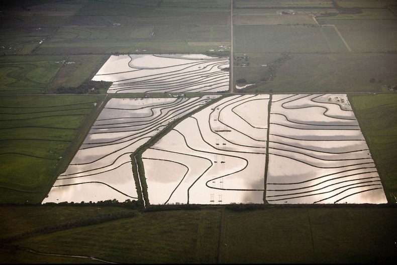
A flooded rice field in Welsh, Louisiana, in 2007.

A cross-tilling line in Loraine, Texas, in 2007.
Converging field berms in Springfield, Nebraska, in 2011.
Field berms following the contour of the land in Springfield, Nebraska, in 2011.

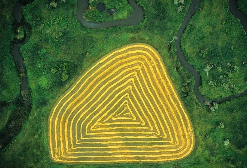
Rings of shaft in Castleton, North Dakota in 1991.
Dryland Farming
Hay Bales in A Cash Valley Field
Rice Fields
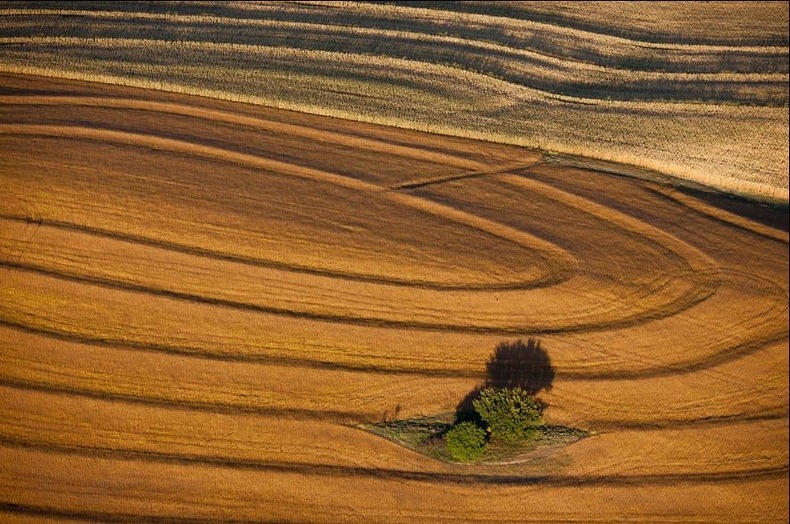
Stream Interrupts Harvest Pattern
viaCNN